Juncheng Li | Jason Li
Personal Website


Description
-
Abstract
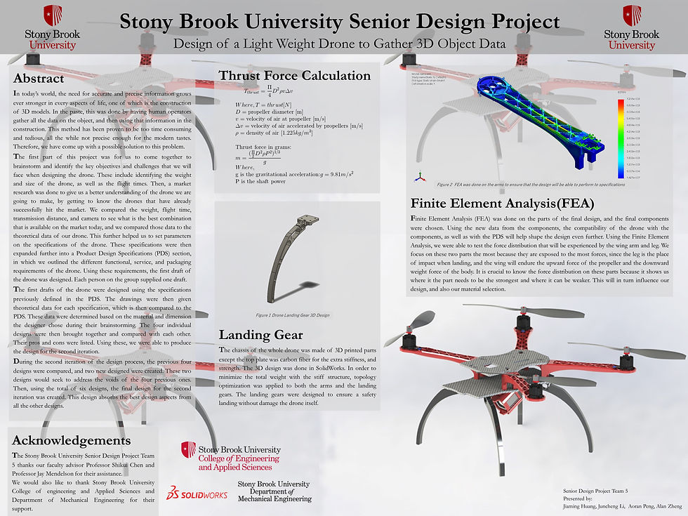
From our research, it can be seen that more and more people are using drones for a variety of jobs, one of which is the creation of 3D models. This field of usage can be used in a lot of settings, such as urban planning, terrain modeling, large scale mapping, game design, and much more. Therefore, upon further examination, we found this topic to be of interest. We want to create a drone that will be able to fit the needs of these people who are looking to use a drone for gathering data to create 3D models. The main goal of this project is to design the drone, which will need to fulfill a variety of specifications. As for the actual 3D generation, a pre-existing software called PIX4D will be used. It is a commercial software that can convert images from any camera into accurate maps and models. This way, we can incorporate a camera into our drone design, and use the camera on board to take pictures that could be used for gathering data. Because of a simple workflow and easily repeatable data capture, maps and models can be updated as often as required. The maps and structure models are used to be generated by using radar which is much expensive and not suitable for civilian purpose. A drone to gather 3D data to generate a 3D model. It is controlled by Pixhawk. The frame is designed and 3D printed. The flight plan is generated to make the drone fly around the object to collect data.